OIA-4271 Banks Peninsula.xlsx
Crashes on roads between Governors Bay and Diamond Harbour, Christchurch
Crash Year
Fatal crashes Serious crashes
Minor crashes
Non-injury
crashes
2013
1
3
1
2014
2
1
6
2015
2
3
5
2016
1
4
5
2017
2
2
8
2018*
4
2
5
Injuries from crashes on roads between Governors Bay and Diamond Harbour,
Christchurch
Crash Year
Fatalities
Serious injuries
Minor injuries
Total
2013
1
4
5
2014
2
1
3
2015
2
3
5
2016
1
4
5
2017
2
2
4
2018*
4
3
7
* 2018 data is incomplete and is current from CAS as at 15/10/2018
Caveats
•This data is provided from the road traffic crash database; Crash Analysis System (CAS)
•Data is for al police reported crashes for the years 2013 to 2018 as recorded in CAS to date - 15
•This sheet includes data on injury crashes and injuries from those crashes on roads between G
•Traffic crash data covers al NZ roadways or places where the public have legal access with a mo
•Due to the police reporting time frame and subsequent data processing there is a lag from the
•Due to the nature of non-fatal crashes it is believed that these are under-reported, with the lev


OIA-4271 Banks Peninsula.xlsx
Total
5
9
10
10
12
11
5/10/2018
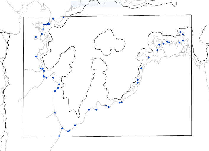
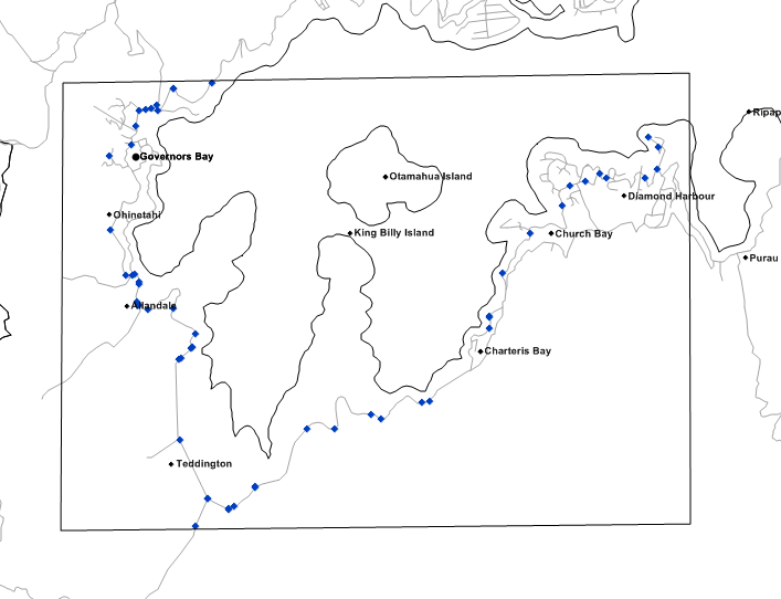
overnors Bay and Diamond Harbour, Christchurch (see map)
otor vehicle
time of a crash to ful and correct crash records within CAS
vel of under-reporting decreasing with the severity of the crash


OIA-4271 Banks Peninsula.xlsx
Document Outline


